Living Shorelines: A Nature-Based Approach to Coastal Erosion Control
Coastal and tidal shorelines are constantly changing. Waves, boat wakes, tidal currents, storm surge, fluctuating water levels, and sea-level rise can gradually remove sediment and weaken the transition between land and water. When erosion threatens buildings, utilities, roads, recreational areas, or other infrastructure, the traditional response has often been to install bulkheads, seawalls, or riprap.
These conventional shoreline stabilization methods remain appropriate in certain locations, particularly where infrastructure is close to the water or wave energy exceeds what vegetation-based systems can tolerate. However, hard armoring can also interrupt natural shoreline processes. Vertical structures may reflect wave energy toward the bottom of the waterway, increase localized scour, limit marsh migration, and reduce the shallow-water habitat that supports fish, shellfish, birds, and other wildlife.
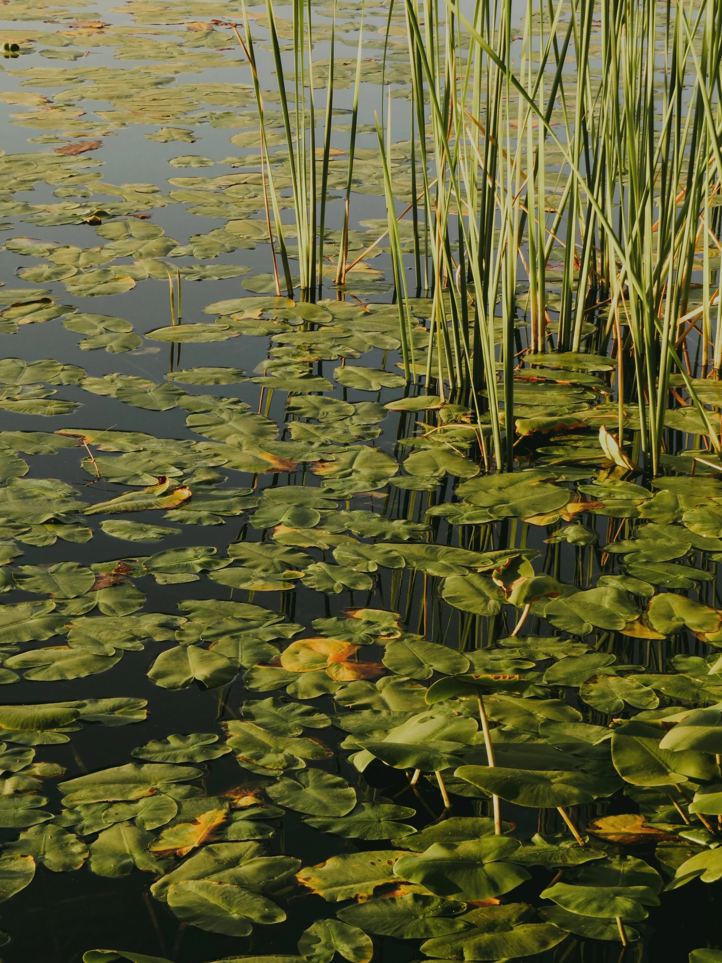
Living shorelines provide another option. Rather than treating the shoreline as a fixed boundary that must be separated from the water, a living shoreline uses vegetation, sediment, and carefully selected structural elements to manage erosion while maintaining ecological function. The result is not simply a planted bank. It is a site-specific erosion control system designed around the physical forces, biological conditions, and long-term uses of the property.
What Is a Living Shoreline and How Does It Work?
A living shoreline is a nature-based shoreline stabilization method that uses native plants and natural materials to reduce erosion. Depending on site conditions, the design may include marsh grasses, shrubs, sand fill, coir logs, coconut-fiber matting, oyster-based structures, stone sills, or low-profile breakwaters. Some projects rely primarily on vegetation, while others use a hybrid system that combines living materials with limited structural protection.
The defining characteristic is not the complete absence of rock or engineered components. A living shoreline is defined by its use of natural processes and its predominantly native or nature-based footprint. The objective is to establish a stable shoreline that continues to interact with tides, sediment, plants, and aquatic organisms.
NOAA describes living shorelines as a nature-based method for stabilizing shorelines and protecting them from erosion. Unlike hardened systems constructed primarily from concrete, steel, or stone, living shorelines use materials such as plants, sand, rock, and oyster shells. NOAA also notes that these systems can become more stable as vegetation matures and root networks develop. Learn more from NOAA Fisheries.
Wave-Energy Dissipation
Bulkheads and seawalls are intended to resist wave forces through structural strength. When waves reach a relatively vertical surface, part of their energy is reflected back toward the water. Depending on water depth, shoreline geometry, and bottom conditions, this reflected energy may contribute to toe scour, sediment displacement, and erosion along the ends of the structure.
A living shoreline works differently. Vegetation, sloped sediment surfaces, oyster structures, and low-profile sills create friction and physical complexity. Instead of encountering one abrupt wall, moving water passes through or across multiple layers of resistance. Each layer helps reduce velocity and dissipate energy before it reaches the upper bank.
Marsh stems can slow shallow water, while dense root systems hold sediment together. Coir logs may provide temporary support at the toe of a newly planted slope. Rock sills or oyster-based structures can reduce the height and intensity of incoming waves while allowing water, sediment, and aquatic organisms to move between the shoreline and the adjacent waterbody.
This does not mean that every living shoreline can withstand every storm or wave environment. Performance depends on matching the design to the site’s actual energy level. A vegetation-only system may perform well along a sheltered creek but fail along a wide waterbody exposed to long fetch, frequent boat wakes, or strong tidal currents. A hybrid design may be necessary when wave energy is moderate or when vegetation needs protection during establishment.
Sediment Stabilization and Accumulation
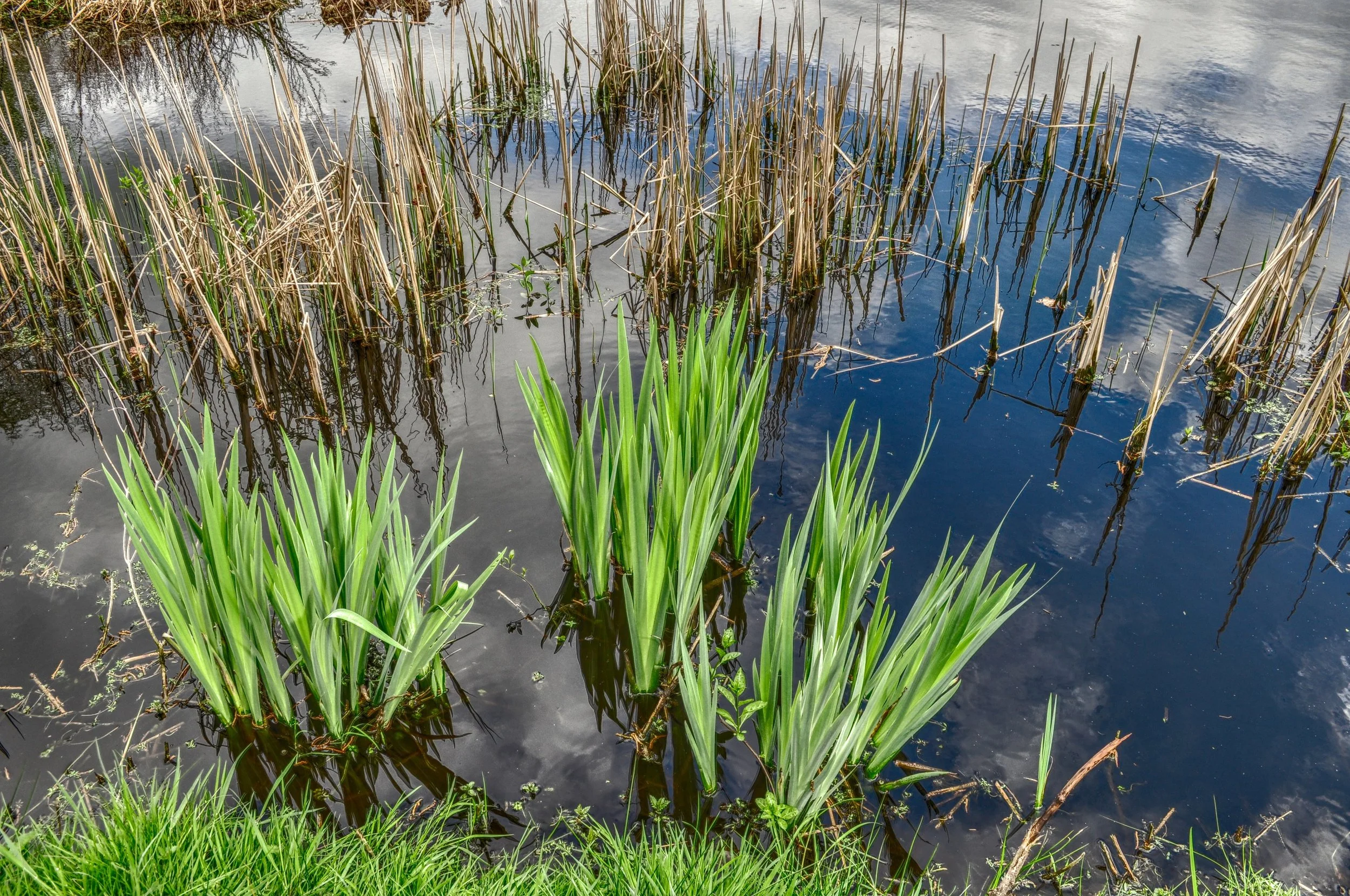
Living shorelines depend on both mechanical and biological stabilization. During the early stages of a project, imported sand, biodegradable erosion control materials, temporary anchoring, and protective structures may hold the design grades in place. As vegetation becomes established, roots reinforce the soil and stems slow water moving across the shoreline.
Reduced water velocity can allow suspended sediment to settle within and behind the vegetation. Over time, this sediment capture may help the shoreline maintain elevation and recover from minor erosion. The capacity to retain sediment is one reason a properly designed living shoreline can become more functional as it matures.
This process is different from assuming that plants alone will stop an actively eroding bank. Planting marsh grass at an unstable site without correcting slope, wave, drainage, or toe conditions is unlikely to produce reliable erosion control. Successful living shoreline construction begins with understanding why sediment is being lost and then creating conditions in which vegetation can survive.
A System, Not a Single Product
There is no universal living shoreline product or standard cross-section that works at every property. A coir log may be useful for one project and inappropriate for another. An oyster structure may support wave reduction and habitat in one region but conflict with navigation, permitting, or site conditions elsewhere.
The system must account for the connection between upland runoff, bank condition, tidal elevation, wave exposure, vegetation, and adjacent property uses. If concentrated stormwater runoff continues to discharge across the bank, for example, the shoreline may erode from the landward side even if it is protected from waves. In that situation, effective shoreline stabilization may also require stormwater conveyance improvements, outlet protection, drainage correction, or other erosion control measures.
Living Shorelines Versus Bulkheads, Seawalls, and Riprap
Living shorelines are frequently presented as an alternative to hardened shoreline stabilization, but the decision should not be reduced to a simple choice between plants and concrete. Each approach has an appropriate range of applications, limitations, maintenance needs, and potential effects on neighboring shoreline areas.
The correct question is not whether living shorelines are always better than bulkheads or riprap. The correct question is which treatment provides sufficient protection while preserving as much natural shoreline function as site conditions allow.
When Hardened Shorelines May Be Appropriate
Hard structural systems may be necessary where critical infrastructure is located immediately next to the water, the shoreline is highly constrained, water depths are substantial, or wave energy is too high for a predominantly nature-based approach. Working waterfronts, ports, navigation facilities, and densely developed urban shorelines may require vertical retaining structures because there is not enough space to create a stable, gradual slope.
Riprap revetments can provide durable protection where a sloped stone system is feasible and properly designed. A revetment typically absorbs more wave energy than a vertical wall because of its rough, angled surface. However, poorly sized rock, an unstable foundation, missing filter material, or inadequate toe protection can still lead to settlement and failure.
Hard structures also require inspection and maintenance. Bulkheads can experience corrosion, joint separation, tieback failure, overtopping, undermining, and loss of backfill. Riprap may shift during storms or settle as underlying soil erodes. The visible structure can remain in place while subsurface conditions continue to deteriorate.
Limitations of Shoreline Armoring
Vertical shoreline armoring creates a distinct separation between upland and aquatic environments. This can eliminate intertidal vegetation, reduce shallow-water habitat, and prevent the shoreline from adjusting naturally as water levels change.
A natural marsh may respond to rising water by gradually migrating landward if appropriate elevations and undeveloped space are available. A seawall, road, building, or other fixed barrier can prevent that movement. The marsh may then become compressed between rising water and the hardened upland boundary, a process sometimes described as coastal squeeze.
Wave reflection is another consideration. A bulkhead may protect the soil directly behind it while redirecting energy toward its base, adjoining properties, or nearby unarmored shoreline. End effects can become particularly important where a hard structure terminates next to a natural bank.
These potential impacts do not mean that every bulkhead produces the same outcome. Shoreline orientation, water depth, wave direction, tidal range, sediment type, and structure design all influence performance. They do demonstrate why shoreline stabilization should be evaluated beyond the property line and beyond the first few years after installation.
The Green-to-Gray Spectrum
Shoreline designs exist along a spectrum. At the green end are vegetation-only systems, marsh restoration, planted slopes, and biodegradable stabilization materials. Hybrid systems may incorporate rock sills, oyster reefs, segmented breakwaters, or other low-profile structural components. Hardened systems include riprap revetments, seawalls, sheet piling, and bulkheads.
A practical design principle is to use the most nature-based approach that can reliably manage the site’s exposure and protect the assets at risk. In some cases, that may be a fully vegetated shoreline. In others, it may be a hybrid system with a stone sill located waterward of planted marsh. At highly constrained sites, conventional armoring may remain the technically appropriate choice.
Hybrid living shorelines are particularly useful where vegetation requires an establishment zone protected from regular wave action. A sill can reduce incoming energy, while gaps maintain tidal exchange and aquatic access. Sand or suitable fill may be placed landward of the sill to establish the correct planting elevations. Native vegetation then stabilizes that sediment and creates habitat.
Comparing Long-Term Performance
Hard structures typically begin providing protection immediately after construction, assuming they are properly designed and installed. Living shorelines often require an establishment period during which plants develop roots, spread, and adapt to tidal conditions.
Once established, vegetation can add biological strength to the shoreline and recover from some forms of disturbance through regrowth. Hardened materials do not regenerate. They generally deteriorate through corrosion, settlement, impact, displacement, or repeated storm loading and must eventually be repaired or replaced.
Living shorelines are not maintenance-free. Newly installed plants may need replacement, invasive vegetation may require control, storm debris may need to be removed, and structural elements may require adjustment following severe weather. The difference is that maintenance supports a functioning natural system rather than focusing exclusively on preserving a fixed barrier.
Cost comparisons must therefore consider the complete project life cycle. Initial construction cost is important, but so are design, permitting, access, monitoring, plant replacement, storm repairs, long-term structural deterioration, and the ecological services provided by the completed shoreline. Claims that one approach is always less expensive should be treated cautiously because project costs vary significantly by site.
Site Assessment and Living Shoreline Design
The success of a living shoreline depends less on any individual material than on the quality of the site assessment. A design must respond to the forces acting on the shoreline, the elevations required by vegetation, the properties of the existing soil, and the ways people use the waterfront.
A project that overlooks one of these factors may experience plant mortality, sediment loss, overtopping, toe scour, or damage to neighboring areas. For that reason, living shoreline planning should begin with field observations, topographic information, tidal data, and a clear understanding of the property’s erosion history.
Wave Climate, Fetch, and Boat Traffic
Wave climate describes the waves that regularly reach a shoreline, including their height, period, direction, and frequency. Wind-generated waves depend partly on fetch, or the uninterrupted distance of open water over which wind can build waves. A sheltered tidal creek with short fetch generally presents different conditions from a shoreline facing a broad bay.
Boat wakes can create a separate source of repetitive wave energy. Even if a site is protected from strong wind waves, frequent vessel traffic may repeatedly disturb sediment and stress new plantings. The size, speed, and distance of vessels from the shoreline influence the intensity of wake exposure.
Designers should evaluate both routine and extreme conditions. A system must tolerate everyday tides and wakes, but it should also be assessed for seasonal storms, unusual water levels, and debris movement. No shoreline system can eliminate all storm risk, but the design should account for reasonably foreseeable conditions.
Tidal Range and Planting Elevation
Marsh plants occupy specific elevation zones based on how frequently and how long they are inundated. Planting too low can expose vegetation to excessive flooding and wave disturbance. Planting too high may leave species without the tidal conditions they require.
Small elevation differences can create large differences in plant survival. A shoreline that appears relatively flat may cross several biological zones within a short horizontal distance. Accurate grading and plant placement are therefore central to living shoreline construction.
Species selection must reflect local salinity, tidal range, soil conditions, growing season, and exposure. Native plants adapted to nearby reference marshes generally provide the best starting point, but existing vegetation should not be copied without evaluating elevation and hydrology. A plant growing successfully a few hundred feet away may occupy a different tidal position or receive less wave energy.
Soil, Slope, and Bank Condition
Soil properties influence how a shoreline erodes and how well it can support vegetation. Loose sand, soft organic sediment, compacted fill, clay, and mixed soils behave differently under tidal saturation and wave loading. Soil testing or geotechnical review may be appropriate where bank stability, bearing capacity, or structural support is uncertain.
Steep banks often need to be regraded before vegetation can become established. A more gradual slope can reduce erosive stress, expand the intertidal planting area, and improve access for maintenance. Regrading may require excavation, clean fill, sediment controls, and protection of existing wetlands or aquatic resources.
Toe erosion must also be evaluated. If waves or currents remove material from the base of the bank, the upper slope may continue to collapse even after surface vegetation is installed. Coir logs, stone sills, oyster structures, or other toe treatments may be needed to create a stable transition.
Upland Stormwater and Drainage
Not all coastal erosion begins at the water. Roof drains, parking areas, roads, compacted lawns, and stormwater pipes can concentrate runoff toward the shoreline. Water flowing over the top of a bank may create channels, wash out fill, expose roots, and undermine plantings.
Groundwater can also contribute to instability. Seepage emerging from a bank may keep soil saturated and trigger slumping. In these situations, shoreline stabilization should be coordinated with a broader stormwater system assessment.
Measures may include redirecting concentrated runoff, stabilizing outfalls, installing level spreaders, correcting failed conveyance systems, or adding upland vegetation. These improvements should not create a new discharge point or transfer erosion to another section of shoreline.
This connection between drainage and bank stability creates natural coordination between living shoreline design, stormwater management, outfall maintenance, and sediment control. Treating each component separately can leave the primary erosion mechanism unresolved.
Property Use and Adjacent Shorelines
A functional design must account for docks, boat access, swimming areas, views, utilities, easements, public access, and maintenance routes. A continuous sill may interfere with navigation or drainage, while poorly located vegetation may block necessary access.
The design should also consider neighboring shorelines. Water does not respond to property boundaries, and a structure that changes wave or current patterns may affect adjacent banks. Transitions between stabilized and unstabilized areas require particular attention because abrupt endpoints can concentrate erosion.
Sea-level rise and marsh migration should be considered where site planning allows. Preserving an upland transition zone can provide space for vegetation to move over time. Where buildings, roads, or other fixed assets prevent migration, the design may require future adaptation as tidal conditions change.
Construction, Permitting, Maintenance, and Long-Term Performance
Living shoreline construction typically occurs in regulated coastal or tidal areas. Depending on the location and scope, a project may require authorization from the U.S. Army Corps of Engineers, state coastal agencies, environmental regulators, local governments, or other authorities.
The permitting path depends on the waterbody, proposed materials, amount of fill, project footprint, impacts to wetlands, navigation considerations, protected species, cultural resources, and state-specific requirements. Property owners should not assume that using natural materials eliminates the need for permits.
Regulatory Planning
At the federal level, certain qualifying projects may be reviewed under U.S. Army Corps of Engineers Nationwide Permit 54, which addresses the construction and maintenance of living shorelines in coastal waters. The permit includes technical conditions and does not automatically authorize every project. Regional conditions, pre-construction notification requirements, water quality certifications, and other approvals may apply. Review current nationwide permit information from the U.S. Army Corps of Engineers.
Permitting should be integrated into early design rather than treated as a final administrative step. Agency requirements can influence structure height, material selection, allowable fill, work limits, construction timing, and monitoring. Redesigning a completed plan after permit review can add cost and delay.
Existing conditions should be documented before disturbance. Useful records may include photographs, survey data, shoreline position, vegetation limits, bank elevations, erosion indicators, adjacent structures, and drainage features. This information supports design, permit applications, construction oversight, and future performance evaluations.
Construction Sequencing
Living shoreline construction must protect the same resources the finished project is intended to improve. Access routes, material staging, equipment operation, dewatering, and temporary erosion controls should be planned to limit unnecessary disturbance.
The typical sequence may include establishing access and work limits, installing sediment and turbidity controls, grading the bank, placing approved fill, constructing sills or toe protection, installing biodegradable erosion control materials, and planting native vegetation. The exact sequence depends on tides, equipment, site geometry, permit conditions, and design type.
Timing can significantly affect plant establishment. Installation should account for the growing season, temperature, tidal conditions, storm patterns, and species-specific requirements. Planting immediately before a period of severe weather or seasonal dormancy may increase mortality.
Quality control is especially important at transitions, gaps, endpoints, and changes in elevation. These are common locations for concentrated flow or wave energy. Rock sizes, sill elevations, planting zones, soil grades, and biodegradable materials should match the approved plans.
Establishment and Maintenance
A living shoreline should be inspected more frequently during its first growing seasons. Early monitoring helps identify plant mortality, animal disturbance, debris accumulation, localized erosion, settlement, or damage to protective structures before those issues expand.
Vegetation replacement is sometimes necessary. Plant loss may result from incorrect elevation, wave stress, drought, excessive inundation, poor soil conditions, herbivory, or damage during storms. Replacing plants without identifying the cause may lead to repeated failure.
Maintenance can include invasive species control, selective replanting, sediment adjustment, debris removal, repair of coir materials, or repositioning displaced rock. Any repair work in regulated areas should remain consistent with applicable permits and authorization conditions.
The system should also be reviewed after major storms, unusually high tides, or changes to nearby waterfront conditions. New docks, dredging, shoreline armoring, vegetation removal, or drainage modifications can alter the forces reaching the project.
Measuring Performance
Performance should be measured against clear project objectives. A living shoreline may be intended to reduce the rate of bank retreat, protect infrastructure, establish marsh habitat, improve water quality, stabilize an outfall area, or accomplish several of these goals together.
Useful indicators include shoreline position, bank elevation, sediment accumulation or loss, vegetation survival, plant coverage, scour near structures, and evidence of erosion at project endpoints. Habitat observations can provide additional information, but physical stability should remain a core part of monitoring.
Living shorelines can support water quality by slowing runoff, trapping sediment, and allowing vegetation to intercept nutrients and pollutants before they reach adjacent waters. NOAA identifies water filtration, erosion reduction, floodwater storage, carbon storage, and habitat creation among the potential benefits of these systems. These outcomes depend on site context and should not be treated as guaranteed at the same level for every project.
Planning for Adaptation
A living shoreline is not a static installation. Vegetation spreads, sediment moves, structures settle, and water levels change. Effective maintenance responds to those changes while preserving the project’s intended function.
Adaptive management may involve replacing unsuccessful plant species, adjusting protection around a vulnerable section, repairing storm damage, or expanding vegetation where sediment has accumulated. The need for adaptation does not necessarily indicate design failure. It reflects the dynamic environment in which the system operates.
However, repeated failures in the same location should trigger a broader reassessment. Persistent erosion may indicate that wave exposure was underestimated, a sill is too low or discontinuous, planting elevations are incorrect, upland runoff remains uncontrolled, or the site is not suitable for the selected approach.
Designing Living Shorelines as Part of a Complete Coastal Resilience System
A living shoreline can provide erosion control, habitat, water quality, and aesthetic benefits when it is properly matched to site conditions. It should not be selected simply because it is considered a greener alternative, nor should it be dismissed because a property has historically relied on bulkheads or riprap.
The most reliable approach begins with the erosion mechanism. A professional assessment should determine whether the primary drivers are waves, boat wakes, tidal currents, stormwater runoff, toe scour, unstable soil, groundwater seepage, sea-level change, or a combination of factors. Design decisions should follow that diagnosis.
For HOAs and residential communities, this may mean coordinating shoreline work with pond, lagoon, outfall, and stormwater infrastructure maintenance. For municipalities, it may require balancing public access, habitat, drainage, and infrastructure protection. Golf courses and commercial properties may need to protect usable land while maintaining water quality and shoreline appearance. Developers may need to integrate shoreline stabilization with grading, sediment control, construction access, and long-term site management.
Ecological Improvements approaches living shoreline projects as connected systems. Wave climate, water depth, tidal range, soil, native vegetation, adjacent uses, upland drainage, permitting, construction timing, and maintenance requirements must all work together. When conditions support a nature-based or hybrid design, the shoreline can provide durable protection without sacrificing the ecological functions that make coastal waterways valuable.
If erosion is affecting your property, the first step is not selecting a product. It is understanding the site. Ecological Improvements can assess shoreline conditions, identify the forces contributing to sediment loss, and develop a stabilization strategy suited to the property’s exposure, infrastructure, environmental setting, and long-term management goals.
Contact Ecological Improvements to discuss a living shoreline assessment and determine whether a vegetation-based, hybrid, or conventional stabilization approach is appropriate for your site.